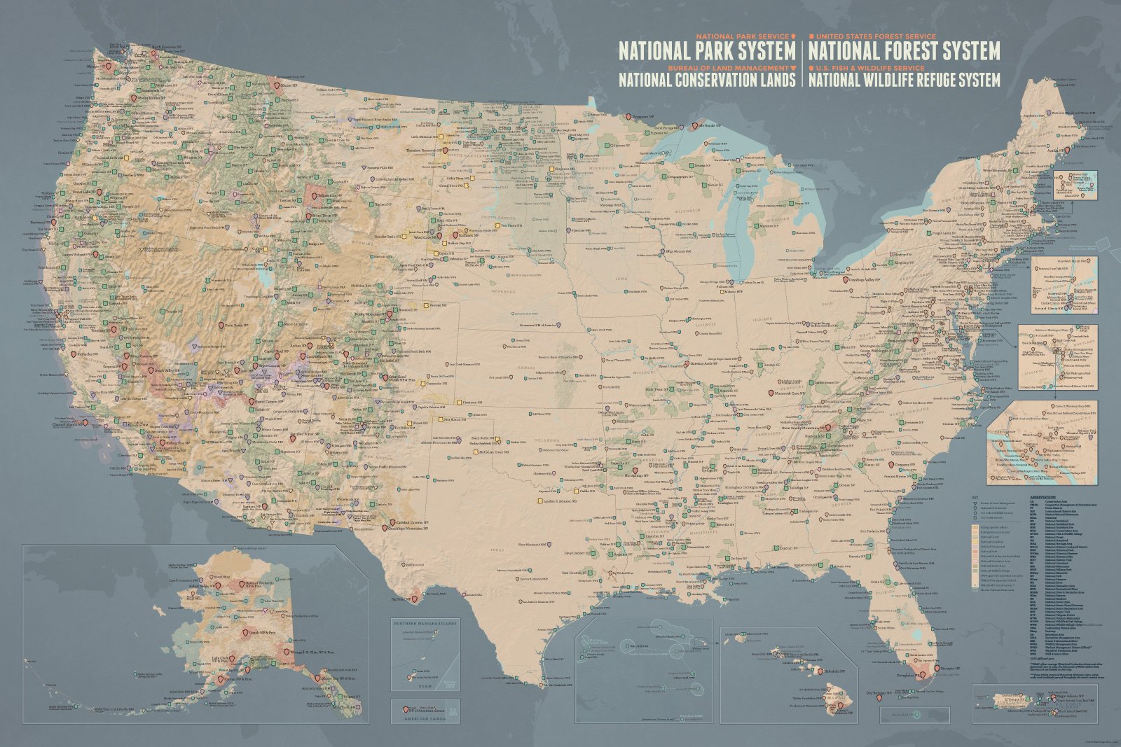
The National Park Service + More Map Poster by Best Maps Ever is not only a stylish map to hang on your wall, it’s the ultimate adventure planner and inspiration to get out and explore. The detailed and streamlined design of the Best Maps Ever NPS + USFS + BLM + FWS Interagency Map will look good on any wall. There are multiple ways to use the map but my favorite thing about it is that it’s fun to look at and dream about future adventures.
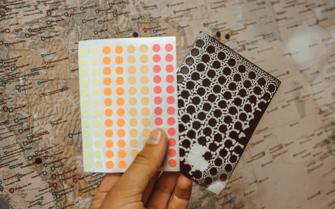
I wanted to match a few other maps that we have hanging in our home so I bought an inexpensive black frame for my poster. I am using little ¼ inch round stickers that were surprisingly hard to find to mark where we’ve been. Not only is this map great decoration for our home, it’s also a great conversation starter!
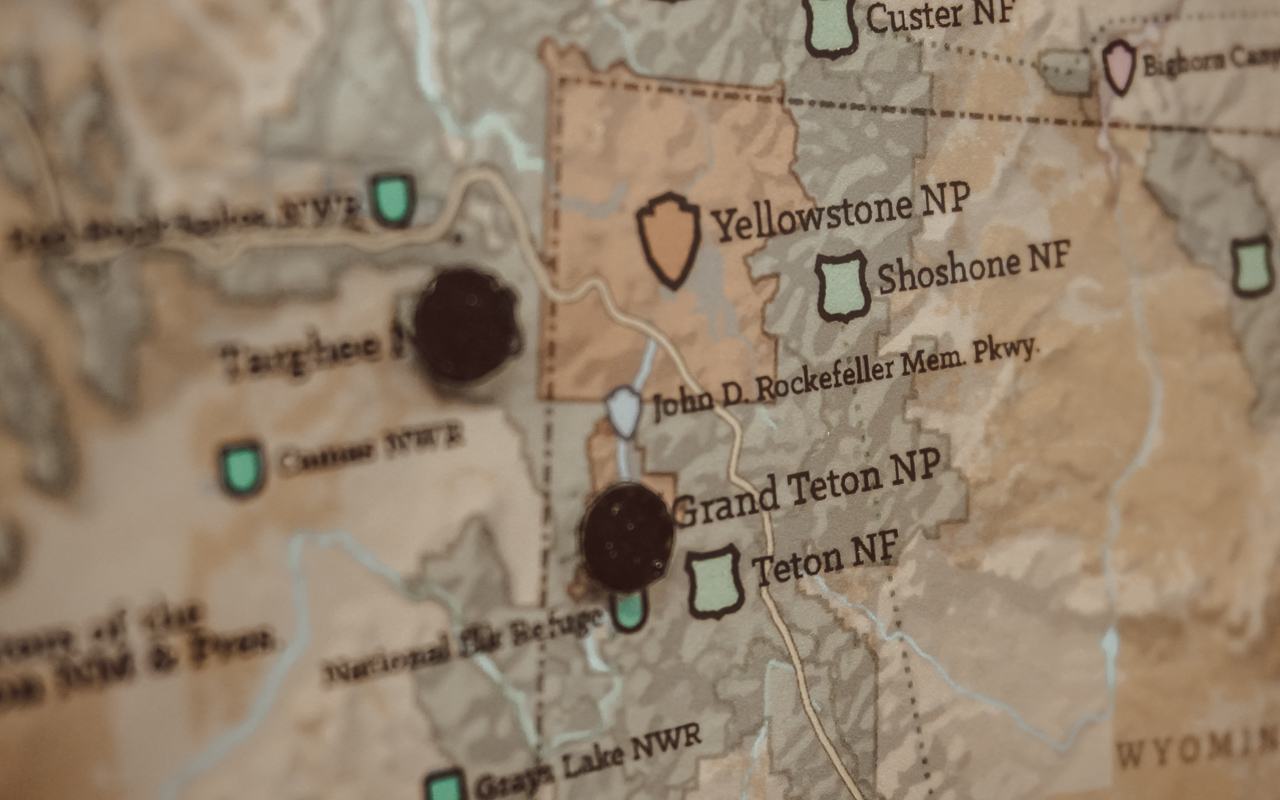
 This map includes all 417 Official Units & 25+ Affiliated Areas of the National Park Service, National Forests, National Grasslands, National Recreation Areas (USFS), National Monuments, National Conservation Areas (BLM), Nearly 600 National Wildlife Refuges, Wetland Management Districts (FWS), and more. Needless to say, this map is packed full of amazing destinations throughout the US.
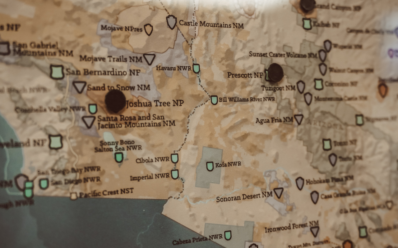
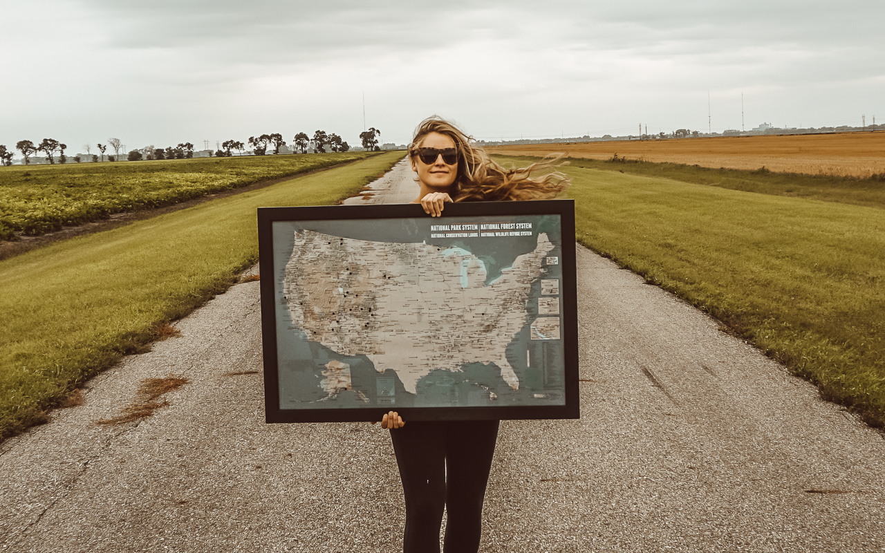 One of my most favorite things about this map is that it reminds us that no matter where we are, there are places to explore. There is so much of the natural world to explore – not just in the US but in the world!
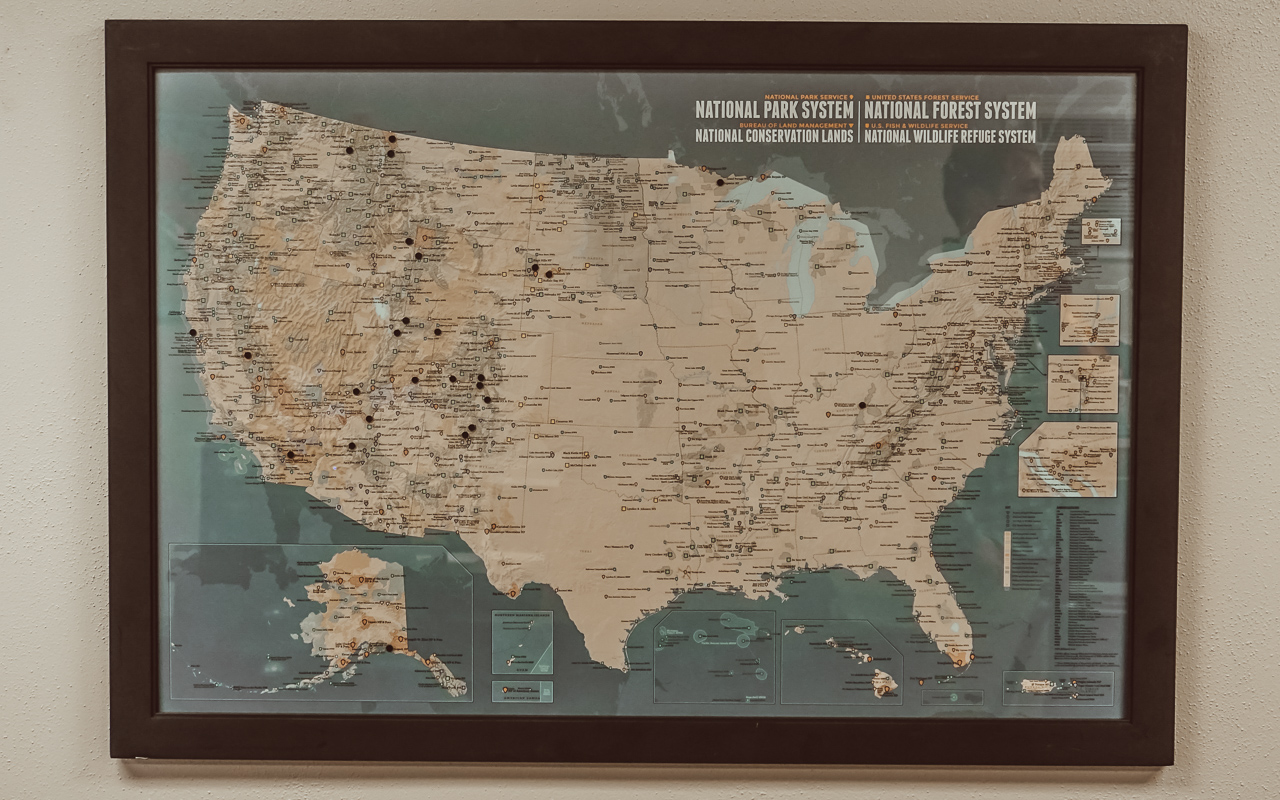 I was really impressed with the print quality of the poster and it arrived flawlessly in the mail (which always makes me nervous about paper products ordered online). I love the overall look of the map and can’t wait to hang it in its forever home. There are a few different color ways so be sure to check out all of the options offered.
Best Maps Ever has released some really cool map designs including state-specific destinations, Ski Resorts of NA, and more! Be sure to check them out if you have a blank wall at your base camp.

